
Talagabodas topographic map
Interactive map
Click on the map to display elevation.
About this map
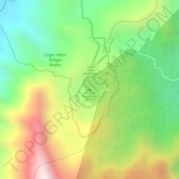
Name: Talagabodas topographic map, elevation, terrain.
Location: Talagabodas, Tasikmalaya, Java occidental, Indonésie (-7.20805 108.06995 -7.20795 108.07005)
Average elevation: 1,692 m
Minimum elevation: 1,400 m
Maximum elevation: 2,092 m