
Thank you for supporting this site ❤️
Make a donation
Make a donation
Schöhsee topographic map
Click on the map to display elevation.
Thank you for supporting this site ❤️
Make a donation
Make a donation
About this map
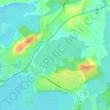
Name: Schöhsee topographic map, elevation, terrain.
Location: Schöhsee, Plön, Schleswig-Holstein, Deutschland (54.15964 10.43031 54.16913 10.45399)
Average elevation: 29 m
Minimum elevation: 15 m
Maximum elevation: 67 m
Thank you for supporting this site ❤️
Make a donation
Make a donation
Other topographic maps
Click on a map to view its topography, its elevation and its terrain.