
Thank you for supporting this site ❤️
Make a donation
Make a donation
Pengerang topographic map
Click on the map to display elevation.
Thank you for supporting this site ❤️
Make a donation
Make a donation
About this map
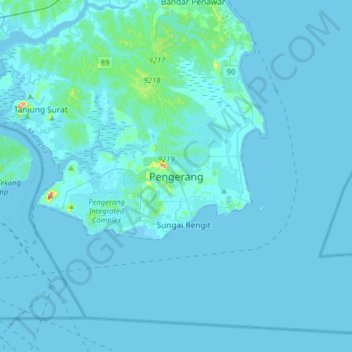
Name: Pengerang topographic map, elevation, terrain.
Location: Pengerang, Kota Tinggi, Johor, 81600, Malaysia (1.23442 104.05549 1.55442 104.37549)
Average elevation: 6 m
Minimum elevation: -4 m
Maximum elevation: 171 m
Thank you for supporting this site ❤️
Make a donation
Make a donation