
Nahe topographic map
Interactive map
Click on the map to display elevation.
About this map
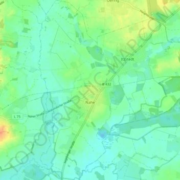
Name: Nahe topographic map, elevation, terrain.
Location: Nahe, Itzstedt, Segeberg, Sleeswijk-Holstein, Duitsland (53.77140 10.11192 53.82435 10.16056)
Average elevation: 30 m
Minimum elevation: 19 m
Maximum elevation: 53 m