
Thank you for supporting this site ❤️
Make a donation
Make a donation
Civil Engineering topographic map
Click on the map to display elevation.
Thank you for supporting this site ❤️
Make a donation
Make a donation
About this map
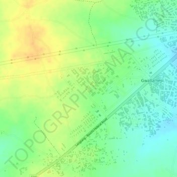
Name: Civil Engineering topographic map, elevation, terrain.
Location: Civil Engineering, Birshi, Bauchi, Bauchi State, 740102, Nigeria (10.25592 9.76582 10.25602 9.76592)
Average elevation: 631 m
Minimum elevation: 613 m
Maximum elevation: 647 m
Thank you for supporting this site ❤️
Make a donation
Make a donation
Other topographic maps
Click on a map to view its topography, its elevation and its terrain.