
Thank you for supporting this site ❤️
Make a donation
Make a donation
Le Borgeal topographic map
Click on the map to display elevation.
Thank you for supporting this site ❤️
Make a donation
Make a donation
About this map
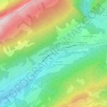
Name: Le Borgeal topographic map, elevation, terrain.
Average elevation: 1,167 m
Minimum elevation: 708 m
Maximum elevation: 1,961 m
Thank you for supporting this site ❤️
Make a donation
Make a donation
Other topographic maps
Click on a map to view its topography, its elevation and its terrain.
Mont Lachat
France > Auvergne-Rhône-Alpes > Haute-Savoie > Les Villards-sur-Thônes
Average elevation: 1,471 m