
Thank you for supporting this site ❤️
Make a donation
Make a donation
Lervik topographic map
Click on the map to display elevation.
Thank you for supporting this site ❤️
Make a donation
Make a donation
About this map
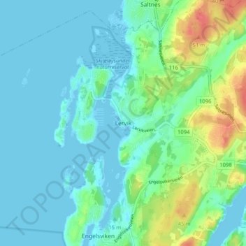
Name: Lervik topographic map, elevation, terrain.
Location: Lervik, Fredrikstad, Østfold, 1628, Norge (59.25109 10.72617 59.29109 10.76617)
Average elevation: 13 m
Minimum elevation: -4 m
Maximum elevation: 53 m
Thank you for supporting this site ❤️
Make a donation
Make a donation
Other topographic maps
Click on a map to view its topography, its elevation and its terrain.