
Thank you for supporting this site ❤️
Make a donation
Make a donation
Sheerin Junction topographic map
Click on the map to display elevation.
Thank you for supporting this site ❤️
Make a donation
Make a donation
About this map
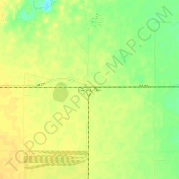
Name: Sheerin Junction topographic map, elevation, terrain.
Location: Sheerin Junction, Moore County, Texas, United States (36.00321 -101.90241 36.04321 -101.86241)
Average elevation: 1,077 m
Minimum elevation: 1,060 m
Maximum elevation: 1,085 m
Thank you for supporting this site ❤️
Make a donation
Make a donation
Other topographic maps
Click on a map to view its topography, its elevation and its terrain.