
Thank you for supporting this site ❤️
Make a donation
Make a donation
Pampas topographic map
Click on the map to display elevation.
Thank you for supporting this site ❤️
Make a donation
Make a donation
About this map
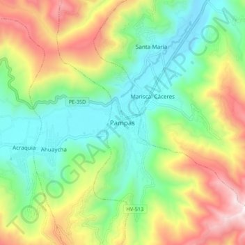
Name: Pampas topographic map, elevation, terrain.
Location: Pampas, Provincia de Tayacaja, Huancavelica, 09000, Perú (-12.43874 -74.90844 -12.35874 -74.82844)
Average elevation: 3,663 m
Minimum elevation: 3,197 m
Maximum elevation: 4,470 m
Thank you for supporting this site ❤️
Make a donation
Make a donation