
Thank you for supporting this site ❤️
Make a donation
Make a donation
Union Peak topographic map
Click on the map to display elevation.
Thank you for supporting this site ❤️
Make a donation
Make a donation
About this map
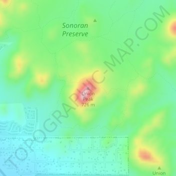
Name: Union Peak topographic map, elevation, terrain.
Average elevation: 527 m
Minimum elevation: 461 m
Maximum elevation: 677 m
Thank you for supporting this site ❤️
Make a donation
Make a donation
Other topographic maps
Click on a map to view its topography, its elevation and its terrain.
Cave Creek Park - Thunderbird
United States > Arizona > Maricopa County > Phoenix
Average elevation: 401 m
Thank you for supporting this site ❤️
Make a donation
Make a donation