
Thank you for supporting this site ❤️
Make a donation
Make a donation
Earleville topographic map
Click on the map to display elevation.
Thank you for supporting this site ❤️
Make a donation
Make a donation
About this map
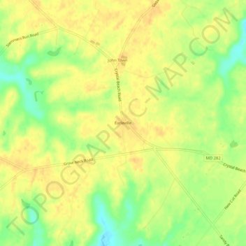
Name: Earleville topographic map, elevation, terrain.
Location: Earleville, Cecil County, Maryland, 21919, United States (39.39539 -75.93744 39.43539 -75.89744)
Average elevation: 20 m
Minimum elevation: -1 m
Maximum elevation: 29 m
Thank you for supporting this site ❤️
Make a donation
Make a donation
Other topographic maps
Click on a map to view its topography, its elevation and its terrain.