
Minto topographic map
Interactive map
Click on the map to display elevation.
About this map
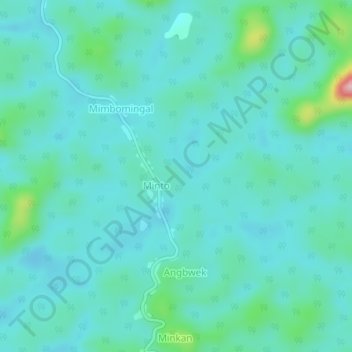
Name: Minto topographic map, elevation, terrain.
Location: Minto, Mvila, Sud, Cameroun (3.01247 10.89164 3.05247 10.93164)
Average elevation: 671 m
Minimum elevation: 638 m
Maximum elevation: 850 m