
Thank you for supporting this site ❤️
Make a donation
Make a donation
Pulga topographic map
Click on the map to display elevation.
Thank you for supporting this site ❤️
Make a donation
Make a donation
About this map
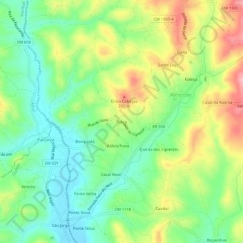
Name: Pulga topographic map, elevation, terrain.
Location: Pulga, Almoster, Alvaiázere, Leiria, 3250-039, Portugal (39.81894 -8.48311 39.85894 -8.44311)
Average elevation: 186 m
Minimum elevation: 128 m
Maximum elevation: 276 m
Thank you for supporting this site ❤️
Make a donation
Make a donation