
Thank you for supporting this site ❤️
Make a donation
Make a donation
Hemnes topographic map
Click on the map to display elevation.
Thank you for supporting this site ❤️
Make a donation
Make a donation
About this map
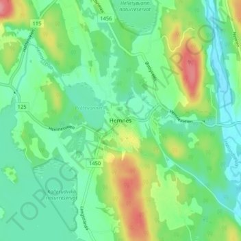
Name: Hemnes topographic map, elevation, terrain.
Location: Hemnes, Aurskog-Høland, Акерсхус, 1970, Норвегия (59.70089 11.43485 59.74089 11.47485)
Average elevation: 147 m
Minimum elevation: 118 m
Maximum elevation: 212 m
Thank you for supporting this site ❤️
Make a donation
Make a donation
Other topographic maps
Click on a map to view its topography, its elevation and its terrain.