
Thank you for supporting this site ❤️
Make a donation
Make a donation
Donbass topographic map
Click on the map to display elevation.
Thank you for supporting this site ❤️
Make a donation
Make a donation
About this map
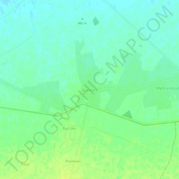
Name: Donbass topographic map, elevation, terrain.
Location: Donbass, Toshloq tumani, Fergana Region, Uzbekistan (40.57282 71.87192 40.61282 71.91192)
Average elevation: 448 m
Minimum elevation: 441 m
Maximum elevation: 456 m
Thank you for supporting this site ❤️
Make a donation
Make a donation