
Thank you for supporting this site ❤️
Make a donation
Make a donation
Dalkinsfjall topographic map
Click on the map to display elevation.
Thank you for supporting this site ❤️
Make a donation
Make a donation
About this map
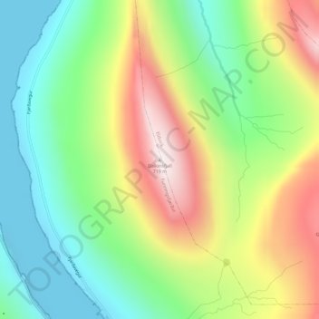
Name: Dalkinsfjall topographic map, elevation, terrain.
Location: Dalkinsfjall, Funningsfjørður, Eysturoyar sýsla, 477, Færøerne (62.25397 -6.92492 62.25407 -6.92482)
Average elevation: 279 m
Minimum elevation: -10 m
Maximum elevation: 707 m
Thank you for supporting this site ❤️
Make a donation
Make a donation