
Thank you for supporting this site ❤️
Make a donation
Make a donation
KonufelIi topographic map
Click on the map to display elevation.
Thank you for supporting this site ❤️
Make a donation
Make a donation
About this map
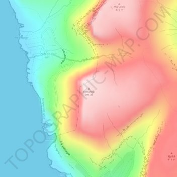
Name: KonufelIi topographic map, elevation, terrain.
Location: KonufelIi, Velbastaður, Streymoyar sýsla, 176, Færøerne (62.01333 -6.89923 62.01343 -6.89913)
Average elevation: 229 m
Minimum elevation: -1 m
Maximum elevation: 494 m
Thank you for supporting this site ❤️
Make a donation
Make a donation