
Thank you for supporting this site ❤️
Make a donation
Make a donation
Snubburnar topographic map
Click on the map to display elevation.
Thank you for supporting this site ❤️
Make a donation
Make a donation
About this map
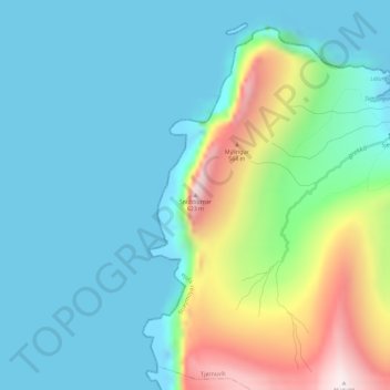
Name: Snubburnar topographic map, elevation, terrain.
Location: Snubburnar, Tjørnuvík, Streymoyar sýsla, 445, Færøerne (62.29303 -7.22417 62.29313 -7.22407)
Average elevation: 156 m
Minimum elevation: -17 m
Maximum elevation: 663 m
Thank you for supporting this site ❤️
Make a donation
Make a donation