
Thank you for supporting this site ❤️
Make a donation
Make a donation
Stava topographic map
Click on the map to display elevation.
Thank you for supporting this site ❤️
Make a donation
Make a donation
About this map
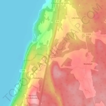
Name: Stava topographic map, elevation, terrain.
Location: Stava, Ödeshög, Ödeshögs kommun, Östergötlands län, Sverige (58.13010 14.56784 58.13020 14.56794)
Average elevation: 155 m
Minimum elevation: 87 m
Maximum elevation: 212 m
Thank you for supporting this site ❤️
Make a donation
Make a donation