
Thank you for supporting this site ❤️
Make a donation
Make a donation
Kogi topographic map
Click on the map to display elevation.
Thank you for supporting this site ❤️
Make a donation
Make a donation
About this map
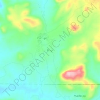
Name: Kogi topographic map, elevation, terrain.
Location: Kogi, Bwari, Federal Capital Territory, Nigeria (9.16134 7.45210 9.20134 7.49210)
Average elevation: 658 m
Minimum elevation: 588 m
Maximum elevation: 810 m
Thank you for supporting this site ❤️
Make a donation
Make a donation