
Thank you for supporting this site ❤️
Make a donation
Make a donation
Laxmipura topographic map
Click on the map to display elevation.
Thank you for supporting this site ❤️
Make a donation
Make a donation
About this map
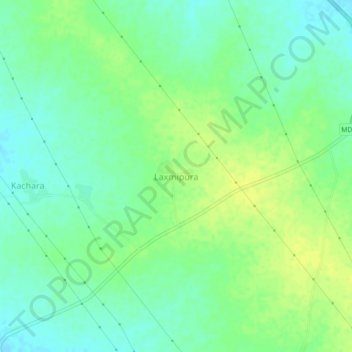
Name: Laxmipura topographic map, elevation, terrain.
Location: Laxmipura, Atru Tehsil, Baran, Rajasthan, India (24.84356 76.62252 24.88356 76.66252)
Average elevation: 294 m
Minimum elevation: 285 m
Maximum elevation: 303 m
Thank you for supporting this site ❤️
Make a donation
Make a donation