
Aberlour topographic map
Interactive map
Click on the map to display elevation.
About this map
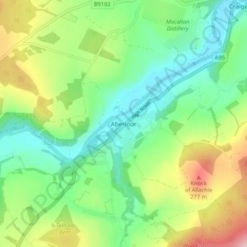
Name: Aberlour topographic map, elevation, terrain.
Location: Aberlour, Moray, Écosse, AB38 9PX, Royaume-Uni (57.45075 -3.24545 57.49075 -3.20545)
Average elevation: 160 m
Minimum elevation: 75 m
Maximum elevation: 326 m