
Mulashi topographic map
Interactive map
Click on the map to display elevation.
About this map
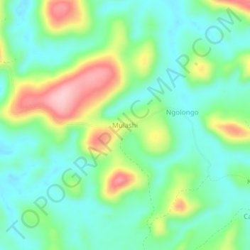
Name: Mulashi topographic map, elevation, terrain.
Location: Mulashi, Kwilu, Democratic Republic of the Congo (-5.12697 17.75742 -5.08697 17.79742)
Average elevation: 466 m
Minimum elevation: 407 m
Maximum elevation: 591 m