
Thank you for supporting this site ❤️
Make a donation
Make a donation
Serrania De Las Quinchas topographic map
Click on the map to display elevation.
Thank you for supporting this site ❤️
Make a donation
Make a donation
About this map
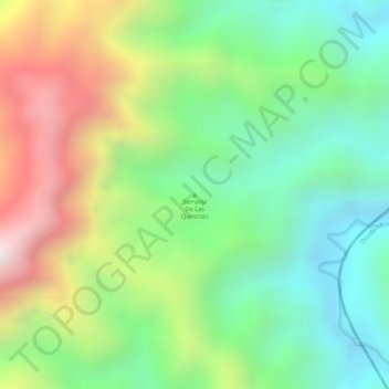
Name: Serrania De Las Quinchas topographic map, elevation, terrain.
Location: Serrania De Las Quinchas, Bolívar, Vélez, Santander, Colombia (5.87947 -74.20922 5.87957 -74.20912)
Average elevation: 671 m
Minimum elevation: 332 m
Maximum elevation: 1,171 m
Thank you for supporting this site ❤️
Make a donation
Make a donation