
Thank you for supporting this site ❤️
Make a donation
Make a donation
Presa topographic map
Click on the map to display elevation.
Thank you for supporting this site ❤️
Make a donation
Make a donation
About this map
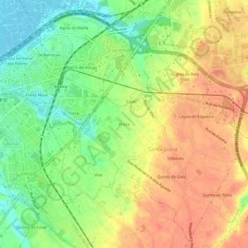
Name: Presa topographic map, elevation, terrain.
Location: Presa, Santa Joana, Aveiro, 3810-376, Portogallo (40.61651 -8.64698 40.65651 -8.60698)
Average elevation: 30 m
Minimum elevation: -2 m
Maximum elevation: 55 m
Thank you for supporting this site ❤️
Make a donation
Make a donation