
Banmauk Township topographic map
Interactive map
Click on the map to display elevation.
About this map
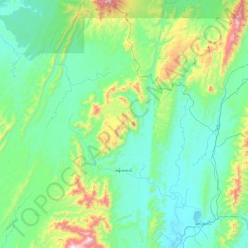
Name: Banmauk Township topographic map, elevation, terrain.
Location: Banmauk Township, Katha District, Sagaing, Myanmar (24.14388 95.28475 24.95999 96.03261)
Average elevation: 369 m
Minimum elevation: 102 m
Maximum elevation: 1,657 m