
Horstmar topographic map
Interactive map
Click on the map to display elevation.
About this map
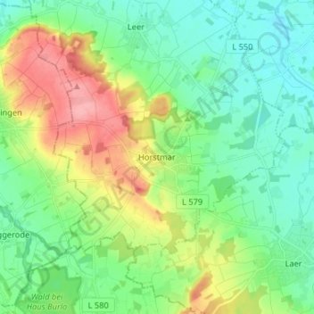
Name: Horstmar topographic map, elevation, terrain.
Location: Horstmar, Kreis Steinfurt, Noordrijn-Westfalen, 48612, Duitsland (52.04114 7.26344 52.12114 7.34344)
Average elevation: 92 m
Minimum elevation: 60 m
Maximum elevation: 160 m