
Thank you for supporting this site ❤️
Make a donation
Make a donation
Linhar de Pala topographic map
Click on the map to display elevation.
Thank you for supporting this site ❤️
Make a donation
Make a donation
About this map
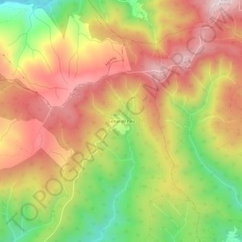
Name: Linhar de Pala topographic map, elevation, terrain.
Location: Linhar de Pala, Pala, Mortágua, Viseu, Portugal (40.48109 -8.27061 40.52109 -8.23061)
Average elevation: 540 m
Minimum elevation: 224 m
Maximum elevation: 800 m
Thank you for supporting this site ❤️
Make a donation
Make a donation