
Thank you for supporting this site ❤️
Make a donation
Make a donation
Camastra topographic map
Click on the map to display elevation.
Thank you for supporting this site ❤️
Make a donation
Make a donation
About this map
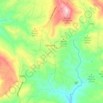
Name: Camastra topographic map, elevation, terrain.
Location: Camastra, Agrigento, Sicily, 92020, Italy (37.21266 13.78453 37.28327 13.82761)
Average elevation: 311 m
Minimum elevation: 151 m
Maximum elevation: 565 m
Thank you for supporting this site ❤️
Make a donation
Make a donation