
Tajur Halang topographic map
Interactive map
Click on the map to display elevation.
About this map
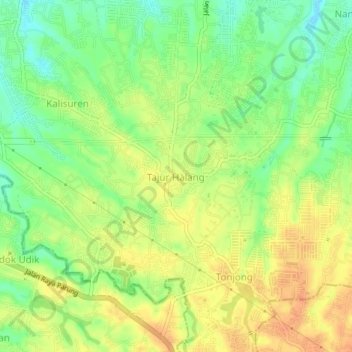
Name: Tajur Halang topographic map, elevation, terrain.
Location: Tajur Halang, West-Java, 16920, Indonesien (-6.50508 106.75140 -6.46508 106.79140)
Average elevation: 137 m
Minimum elevation: 117 m
Maximum elevation: 153 m