
Lyons topographic map
Interactive map
Click on the map to display elevation.
About this map
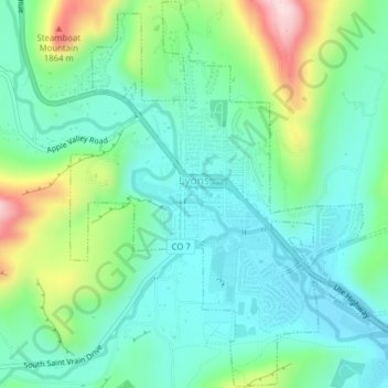
Name: Lyons topographic map, elevation, terrain.
Location: Lyons, Boulder County, Colorado, 80540, USA (40.20856 -105.28303 40.23814 -105.24403)
Average elevation: 1,690 m
Minimum elevation: 1,608 m
Maximum elevation: 1,913 m