
Thank you for supporting this site ❤️
Make a donation
Make a donation
Waverly topographic map
Click on the map to display elevation.
Thank you for supporting this site ❤️
Make a donation
Make a donation
About this map
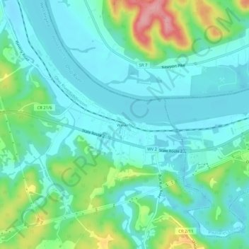
Name: Waverly topographic map, elevation, terrain.
Location: Waverly, Wood County, West Virginia, 26184, United States (39.31813 -81.39956 39.35813 -81.35956)
Average elevation: 209 m
Minimum elevation: 178 m
Maximum elevation: 307 m
Thank you for supporting this site ❤️
Make a donation
Make a donation
Other topographic maps
Click on a map to view its topography, its elevation and its terrain.