
Chandrampalem topographic map
Interactive map
Click on the map to display elevation.
About this map
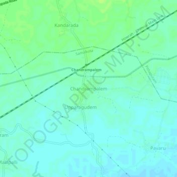
Name: Chandrampalem topographic map, elevation, terrain.
Location: Chandrampalem, East Godavari, Andhra Pradesh, 533450, Índia (17.06024 82.20489 17.10024 82.24489)
Average elevation: 12 m
Minimum elevation: 7 m
Maximum elevation: 18 m