
Thank you for supporting this site ❤️
Make a donation
Make a donation
Burgwalden topographic map
Click on the map to display elevation.
Thank you for supporting this site ❤️
Make a donation
Make a donation
About this map
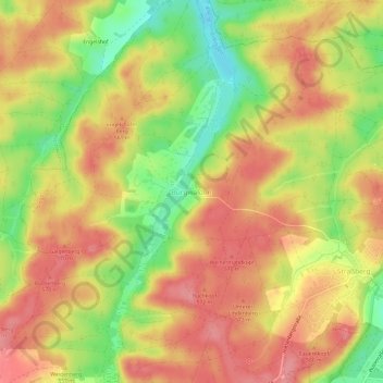
Name: Burgwalden topographic map, elevation, terrain.
Location: Burgwalden, Bobingen, Landkreis Augsburg, Bayern, Deutschland (48.26188 10.74070 48.30188 10.78070)
Average elevation: 549 m
Minimum elevation: 496 m
Maximum elevation: 584 m
Thank you for supporting this site ❤️
Make a donation
Make a donation
Other topographic maps
Click on a map to view its topography, its elevation and its terrain.