
Thank you for supporting this site ❤️
Make a donation
Make a donation
Machaypungo Alto topographic map
Click on the map to display elevation.
Thank you for supporting this site ❤️
Make a donation
Make a donation
About this map
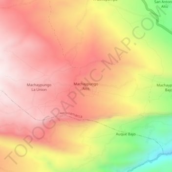
Name: Machaypungo Alto topographic map, elevation, terrain.
Location: Machaypungo Alto, Bambamarca, Hualgayoc, Cajamarca, Perú (-6.67850 -78.60069 -6.63850 -78.56069)
Average elevation: 3,273 m
Minimum elevation: 2,791 m
Maximum elevation: 3,565 m
Thank you for supporting this site ❤️
Make a donation
Make a donation