
娘娘山 topographic map
Interactive map
Click on the map to display elevation.
About this map
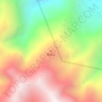
Name: 娘娘山 topographic map, elevation, terrain.
Location: 娘娘山, 泸定县, 甘孜藏族自治州, 四川省, 中国 (29.71089 102.28129 29.71099 102.28139)
Average elevation: 2,929 m
Minimum elevation: 2,152 m
Maximum elevation: 3,648 m
Other topographic maps
Click on a map to view its topography, its elevation and its terrain.