
Banjarmendalan topographic map
Interactive map
Click on the map to display elevation.
About this map
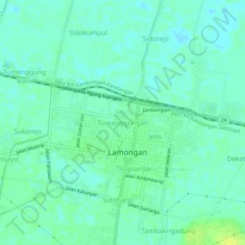
Name: Banjarmendalan topographic map, elevation, terrain.
Location: Banjarmendalan, Lamongan, Jatim, 62211, Indonésie (-7.13566 112.39481 -7.09566 112.43481)
Average elevation: 6 m
Minimum elevation: 0 m
Maximum elevation: 16 m