康定跑马山风景区 topographic map
Interactive map
Click on the map to display elevation.
About this map
Name: 康定跑马山风景区 topographic map, elevation, terrain.
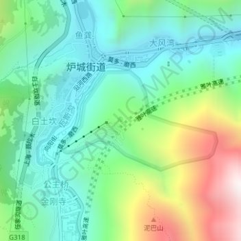
Average elevation: 2,804 m
Minimum elevation: 2,465 m
Maximum elevation: 3,597 m

Click on the map to display elevation.
Name: 康定跑马山风景区 topographic map, elevation, terrain.
Average elevation: 2,804 m
Minimum elevation: 2,465 m
Maximum elevation: 3,597 m