
Ures topographic map
Interactive map
Click on the map to display elevation.
About this map
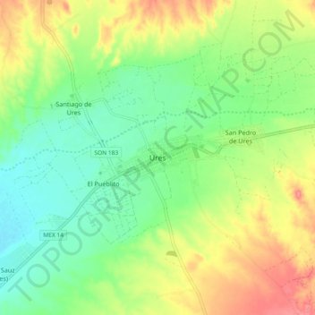
Name: Ures topographic map, elevation, terrain.
Location: Ures, Sonora, 84900, México (29.38645 -110.42786 29.46645 -110.34786)
Average elevation: 396 m
Minimum elevation: 364 m
Maximum elevation: 444 m
Altitud entre 400 y 1500 m.
Other topographic maps
Click on a map to view its topography, its elevation and its terrain.