
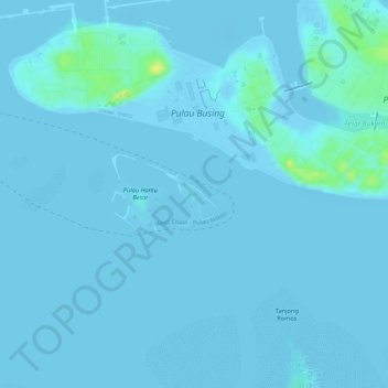
Pulau Hantu Kecil topographic map
Interactive map
Click on the map to display elevation.
About this map
Name: Pulau Hantu Kecil topographic map, elevation, terrain.
Location: Pulau Hantu Kecil, Western Islands, Southwest, Singapore (1.22333 103.74919 1.22769 103.75398)
Average elevation: 2 m
Minimum elevation: -8 m
Maximum elevation: 20 m
Other topographic maps
Click on a map to view its topography, its elevation and its terrain.