
Thank you for supporting this site ❤️
Make a donation
Make a donation
La Roble topographic map
Click on the map to display elevation.
Thank you for supporting this site ❤️
Make a donation
Make a donation
About this map
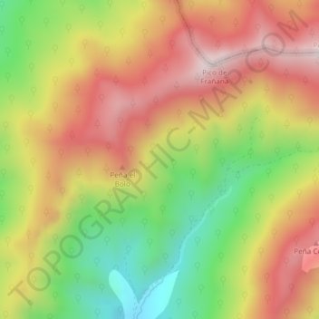
Name: La Roble topographic map, elevation, terrain.
Location: La Roble, Burón, León, Castile and León, Spain (43.07454 -4.99511 43.09454 -4.97511)
Average elevation: 1,555 m
Minimum elevation: 1,225 m
Maximum elevation: 1,854 m
Thank you for supporting this site ❤️
Make a donation
Make a donation