
Opitter topographic map
Interactive map
Click on the map to display elevation.
About this map
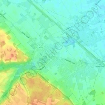
Name: Opitter topographic map, elevation, terrain.
Location: Opitter, Bree, Maaseik, Limburg, Vlaanderen, België (51.10252 5.61801 51.13429 5.66932)
Average elevation: 48 m
Minimum elevation: 34 m
Maximum elevation: 74 m
Other topographic maps
Click on a map to view its topography, its elevation and its terrain.