
Webb topographic map
Interactive map
Click on the map to display elevation.
About this map
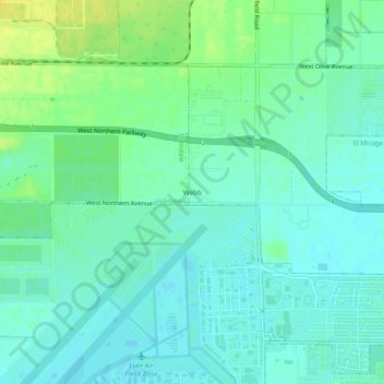
Name: Webb topographic map, elevation, terrain.
Average elevation: 334 m
Minimum elevation: 326 m
Maximum elevation: 348 m
Webb is a populated place situated in Maricopa County, Arizona. It has an estimated elevation of 1,109 feet (338 m) above sea level.