
Ubundu topographic map
Interactive map
Click on the map to display elevation.
About this map
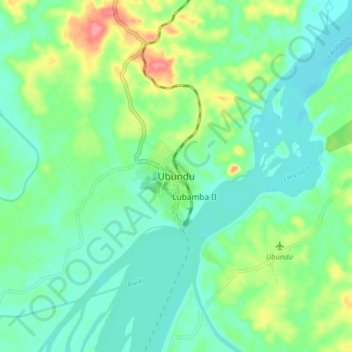
Name: Ubundu topographic map, elevation, terrain.
Location: Ubundu, Orientale, Tshopo, Democratic Republic of the Congo (-0.39765 25.39209 -0.31765 25.47209)
Average elevation: 433 m
Minimum elevation: 409 m
Maximum elevation: 491 m