
叶泽湖花苑社区 topographic map
Interactive map
Click on the map to display elevation.
About this map
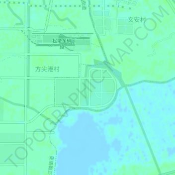
Name: 叶泽湖花苑社区 topographic map, elevation, terrain.
Location: 叶泽湖花苑社区, 吴江经济技术开发区, 同里镇, 吴江区, 苏州市, 江苏省, 中国 (31.12673 120.70787 31.13409 120.72030)
Average elevation: 3 m
Minimum elevation: -2 m
Maximum elevation: 6 m