
Thank you for supporting this site ❤️
Make a donation
Make a donation
Agomeda topographic map
Click on the map to display elevation.
Thank you for supporting this site ❤️
Make a donation
Make a donation
About this map
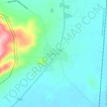
Name: Agomeda topographic map, elevation, terrain.
Location: Agomeda, Shai-Osudoku District, Greater Accra Region, Ghana (5.95965 -0.00965 5.99965 0.03035)
Average elevation: 92 m
Minimum elevation: 42 m
Maximum elevation: 295 m
Thank you for supporting this site ❤️
Make a donation
Make a donation