
Luxor City topographic map
Interactive map
Click on the map to display elevation.
About this map
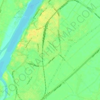
Name: Luxor City topographic map, elevation, terrain.
Location: Luxor City, Luxor, Egypt (25.66228 32.62822 25.70857 32.67571)
Average elevation: 78 m
Minimum elevation: 67 m
Maximum elevation: 89 m
Other topographic maps
Click on a map to view its topography, its elevation and its terrain.
Sheikh Abd el-Qurna
Egypt > Luxor > New Al Qarnh City
Sheikh Abd el-Qurna, New Al Qarnh City, Luxor, 85958, Egypt
Average elevation: 136 m
Ancient Thebes with its Necropolis
Egypt > Luxor > Al Baairat Village
Ancient Thebes with its Necropolis, Al Baairat Village, Luxor, Egypt
Average elevation: 114 m