
Kampung Belahan Tampok topographic map
Interactive map
Click on the map to display elevation.
About this map
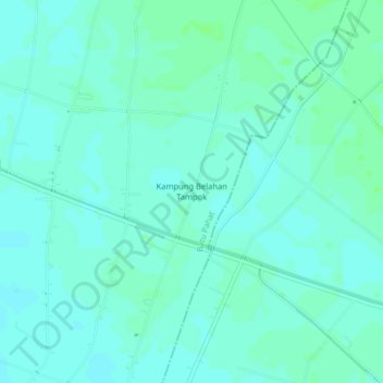
Name: Kampung Belahan Tampok topographic map, elevation, terrain.
Location: Kampung Belahan Tampok, Batu Pahat, Johor, 82210, Malaysia (1.70328 103.18056 1.74328 103.22056)
Average elevation: 4 m
Minimum elevation: 1 m
Maximum elevation: 8 m