
Thank you for supporting this site ❤️
Make a donation
Make a donation
Kamalo topographic map
Click on the map to display elevation.
Thank you for supporting this site ❤️
Make a donation
Make a donation
About this map
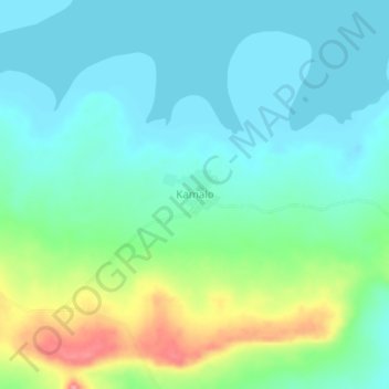
Name: Kamalo topographic map, elevation, terrain.
Location: Kamalo, Kwahu Afram Plains North District, Eastern Region, Ghana (6.88915 0.02983 6.92915 0.06983)
Average elevation: 97 m
Minimum elevation: 73 m
Maximum elevation: 164 m
Thank you for supporting this site ❤️
Make a donation
Make a donation