
Thank you for supporting this site ❤️
Make a donation
Make a donation
Altaquer topographic map
Click on the map to display elevation.
Thank you for supporting this site ❤️
Make a donation
Make a donation
About this map
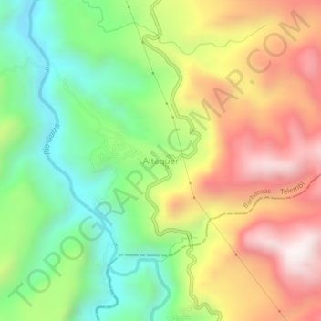
Name: Altaquer topographic map, elevation, terrain.
Location: Altaquer, Barbacoas, Telembí, Nariño, RAP Pacífico, Colombia (1.22732 -78.11169 1.26732 -78.07169)
Average elevation: 1,050 m
Minimum elevation: 628 m
Maximum elevation: 1,565 m
Thank you for supporting this site ❤️
Make a donation
Make a donation